Map of Mexico - cartoon illustration example image 1

Map of Mexico - cartoon illustration

Map of Mexico - cartoon illustration
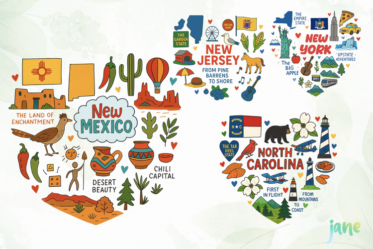
Hand drawn doodle map of Mexico. It's geographically correct (yet a bit "artistic", of course), has main places of interest & some cute lettering on it. This map will look great on greeting cards, posters, apparel design and any kind of souvenirs.All objects on the colored map are neatly organized so you’ll be able to turn them on/off and move things around easily. To do so you’ll need to use either Adobe Photoshop or Adobe Illustrator.Also as a bonus you will also get an outline version in vector, JPG, PNG formats.WHAT
YOU’LL GET:Colored map of Mexico in EPS version 10, with well-organized groups

  • 30 Cactus Mexico icon in EPS version 10, JPG & PNG files on 5000x5000 resolution 
  • 15 Ancient Mexico sign in EPS version 10, JPG & PNG files on 5000x5000 resolution
  • 16 Lettering of Mexico in EPS version 10, JPG & PNG files on 5000x5000 resolution
  • 19 Places of Mexico in EPS version 10, JPG & PNG files on 5000x5000 resolution
Bonus! Outline version map of MexicoMap of Mexico in EPS version 10, with well-organized groups
  • 30 Cactus Mexico icon in EPS version 10, JPG & PNG files on 5000x5000 resolution 
  • 15 Ancient Mexico sign in EPS version 10, JPG & PNG files on 5000x5000 resolution
  • 16 Lettering of Mexico in EPS version 10, JPG & PNG files on 5000x5000 resolution
  • 19 Places of Mexico in EPS version 10, JPG & PNG files on 5000x5000 resolution

Files included: AI, EPS, JPG, PNG