
Witch magic symbols. Doodle esoteric, boho mystical

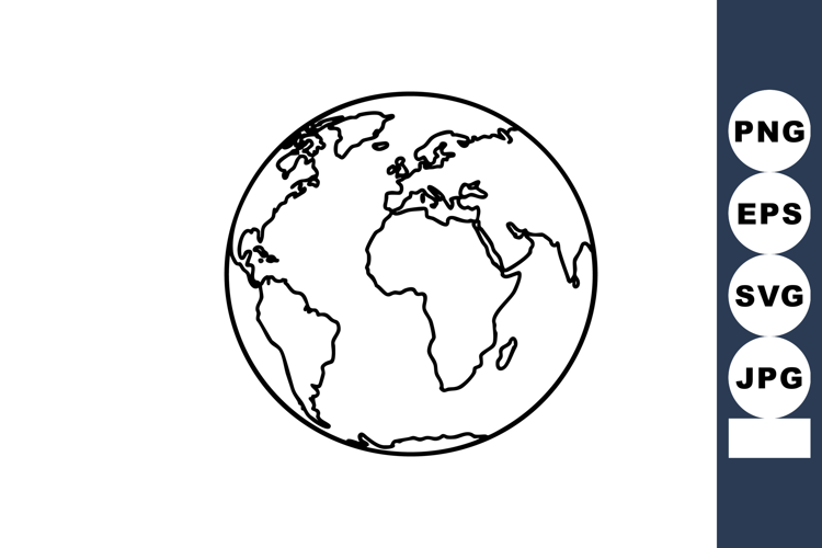
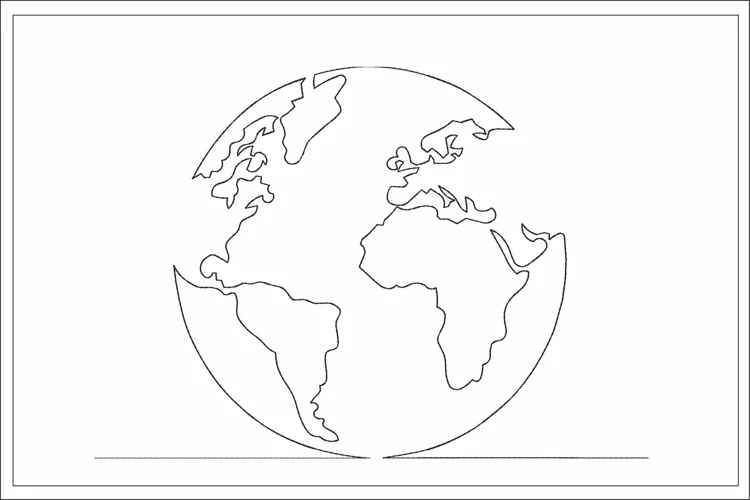
Sketch globe maps. Hand drawn earth lands, doodle world map with continents and oceans. Geography vector illustration set. Elements for education, geography lessons at school, studying planet
One EPS10 file
72ppi Resolution JPEG as a preview
If you want to separate elements or edit something, please use vector editor e.g. Illustrator
Files included: EPS, JPG